Description
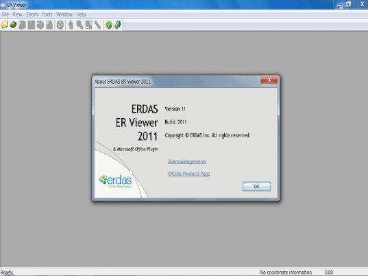
Access and view the content of large images and ECW files, adjust the pixelation levels of some of them in the dedicated suite. UDF, ER Mapper, TIFF and GeoTIFF, SPOT View, ESRI BIL (ARC/INFO and ArcView), NITF, IMG, ASC, PNG, USGS SDTS (DEM) formats are supported,


User comments